Fundings :
The Goverrment of Gambia

characteristics :
In November 2018, the Ministry of Transport, Works and Infrastructure launched a request for proposals for consultancy services for the feasibility study for the design of the Nuimi Hakalang road, the preparation of tender documents and the supervision of the construction works of the Nuimi Hakalang road, financed by the Government of The Gambia.
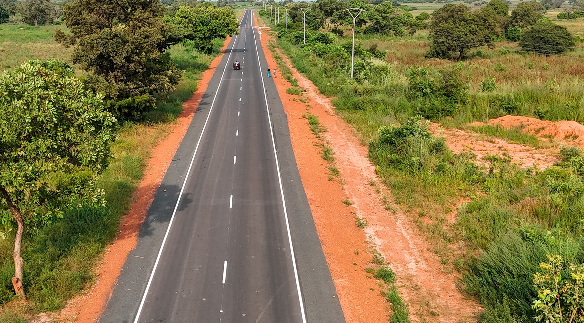
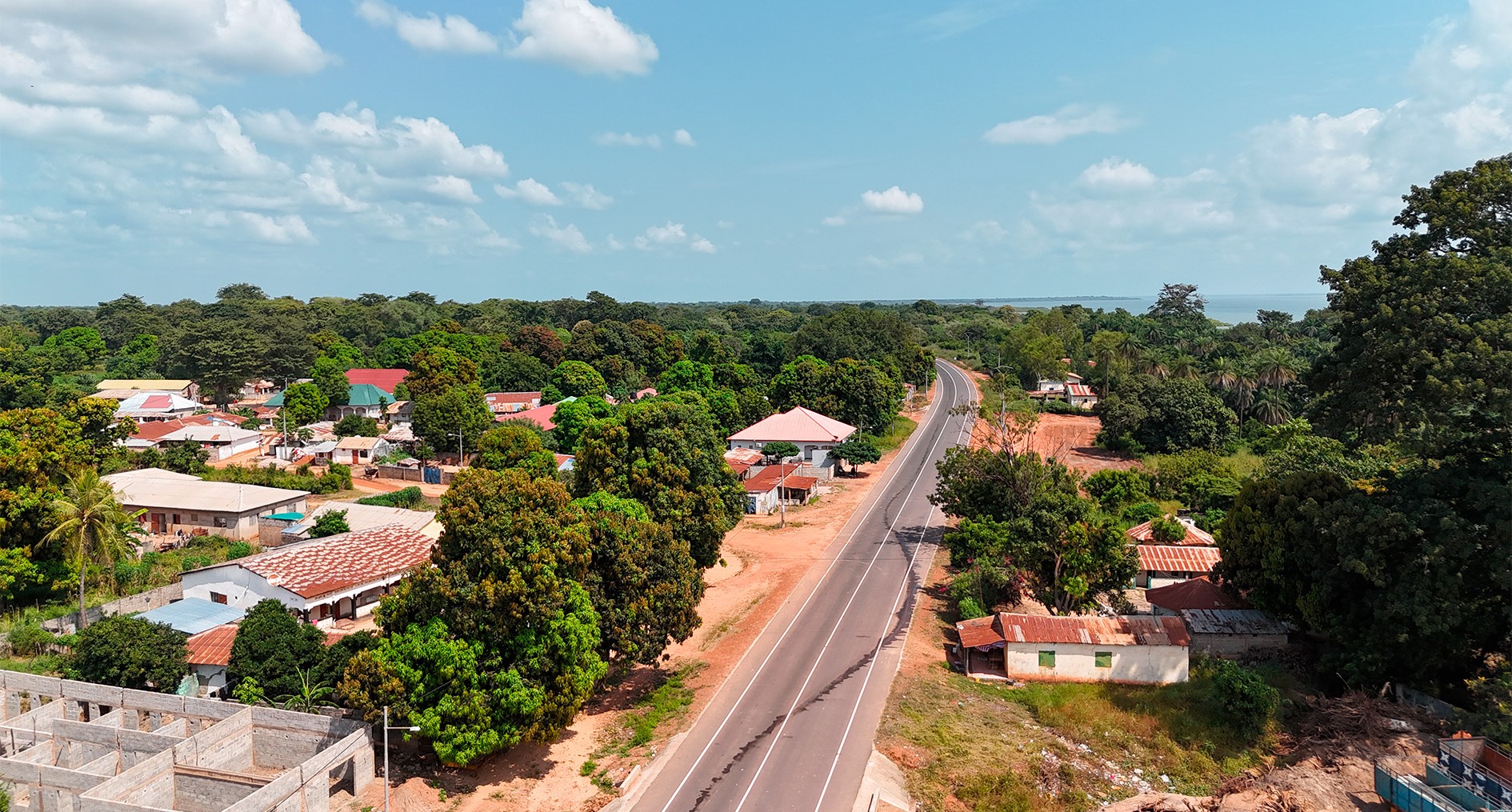
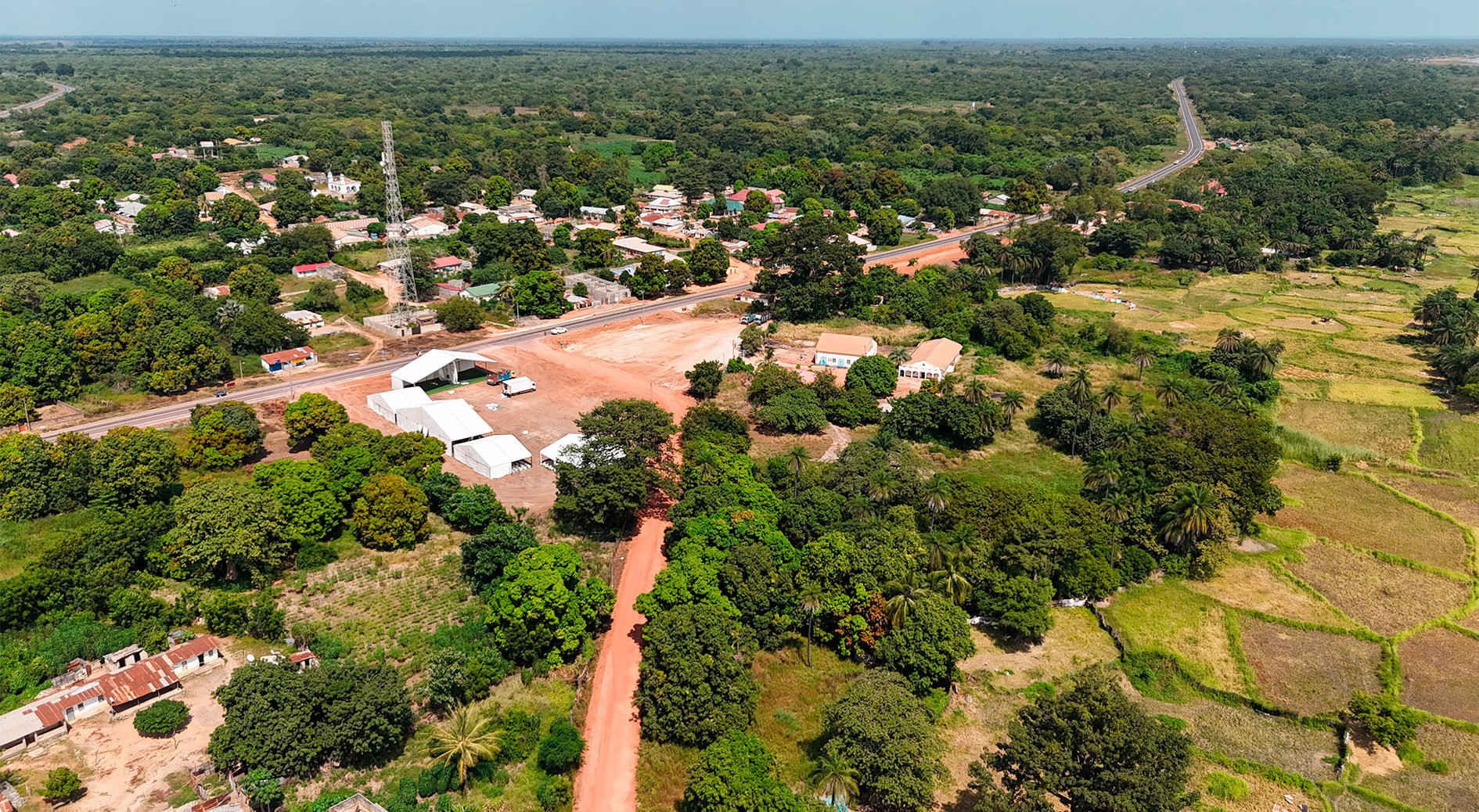
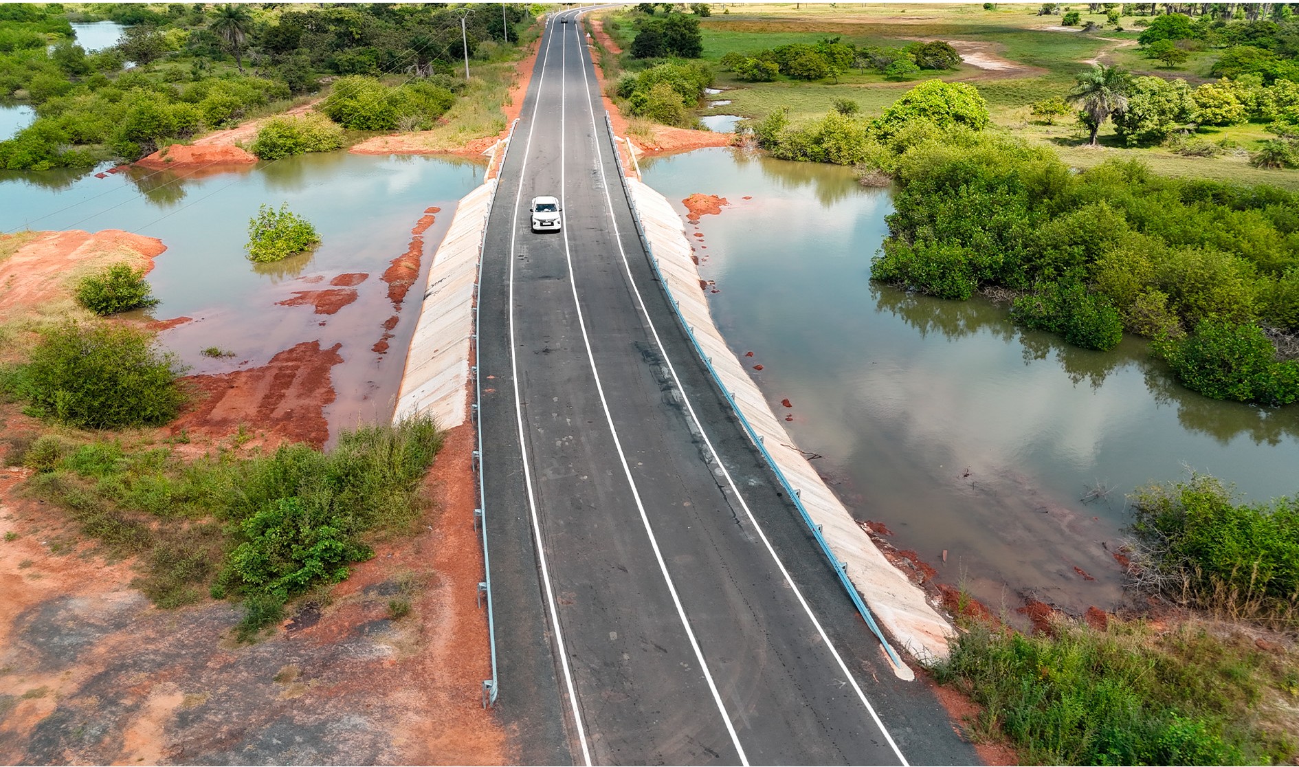
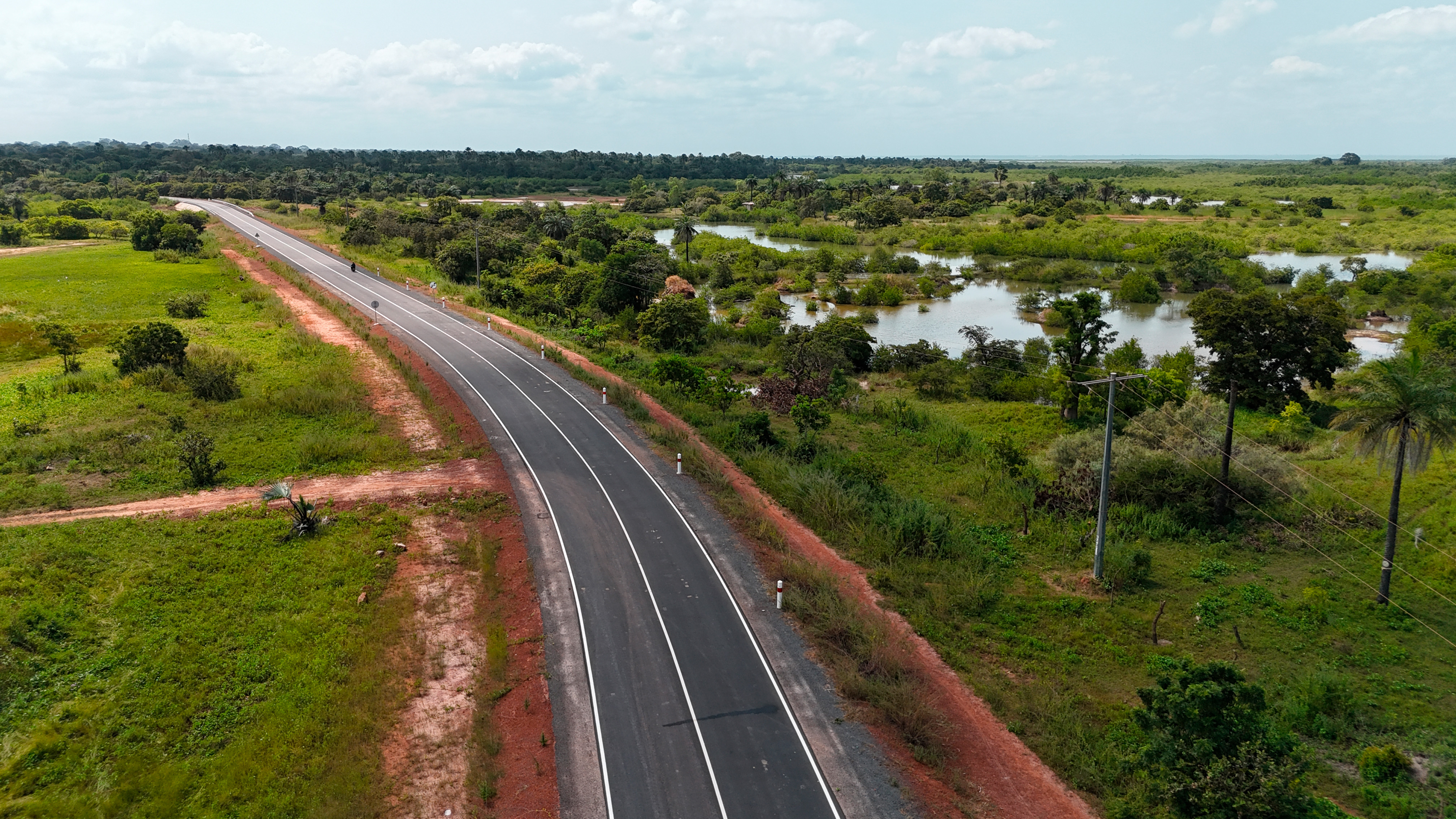
The NUIMI-HAKALANG project is located in the region on the north bank of the Gambia River. The project comprises three sections for a total length of 84.4 km and is characterized as follows:
• 4 cm thick bituminous concrete wearing course
• Base layer of selected lateritic gravel, 20 cm thick
• 25 cm thick foundation layer of selected lateritic gravel
• 25 cm thick foundation layer of lateritic gravel
• 68 culverts in various dimensions (6 x 3 x 1.5 m, 4 x 1.5 x 1.5 m, 3 x 1.5 x 1.5 m, 2 x 1.5 x 1.5 m, 2 x 1 x 1 m and 1 x 1 m)
• Concrete drainage systems
• Road furniture (road markings, signs, guardrails, curbs, etc.).
The project is composed of three sections as follows:
Section 1: From Buniadu to Kuntaya:
– Total length: 55.7 km from Buniadu village to Kuntaya village
Section No. 2: From Ker Mbeuguma to Madina Bafuloto:
– Total length: 13.6 km from the village of Ker Mbeuguma to the village of Madina Bafuloto
Section No. 3: From Albreda to Omar Sahor:
– Total length: 15.1 km from the intersection with section No. 1 in Albreda to the village of Omar Sahor
Mission of IDC :
– Review of all available cartographic, soil and material data, as well as meteorological data of the road and affected areas, to carry out all topographic and hydrological studies and soil and material surveys necessary to identify alignment proposals and subsequent technical design.
– The establishment of detailed inventories and surveys of the condition of the road and existing structures of the project, including the analysis of the load-bearing capacity of the existing pavement.
– The proposal of effective modifications that will improve the design or specifications of the work, indicating their effect on the cost of the project;
– Coordination with the client and the relevant authorities to ensure that the assessment and compensation of needs, where appropriate, in the works (e.g., public services or river crossing);
– The assessment of vehicle operating costs; and data on construction and maintenance costs;
– Carrying out complete studies: topographic studies, geotechnical studies, environmental studies, socio-economic studies, hydraulic and hydrological studies, geometric studies, studies of structures and studies of signaling and equipment.
– Preparation of a preliminary design (APD) file
– Preparation of the detailed design (DAO) file
– Assistance to the client in selecting the contractor.